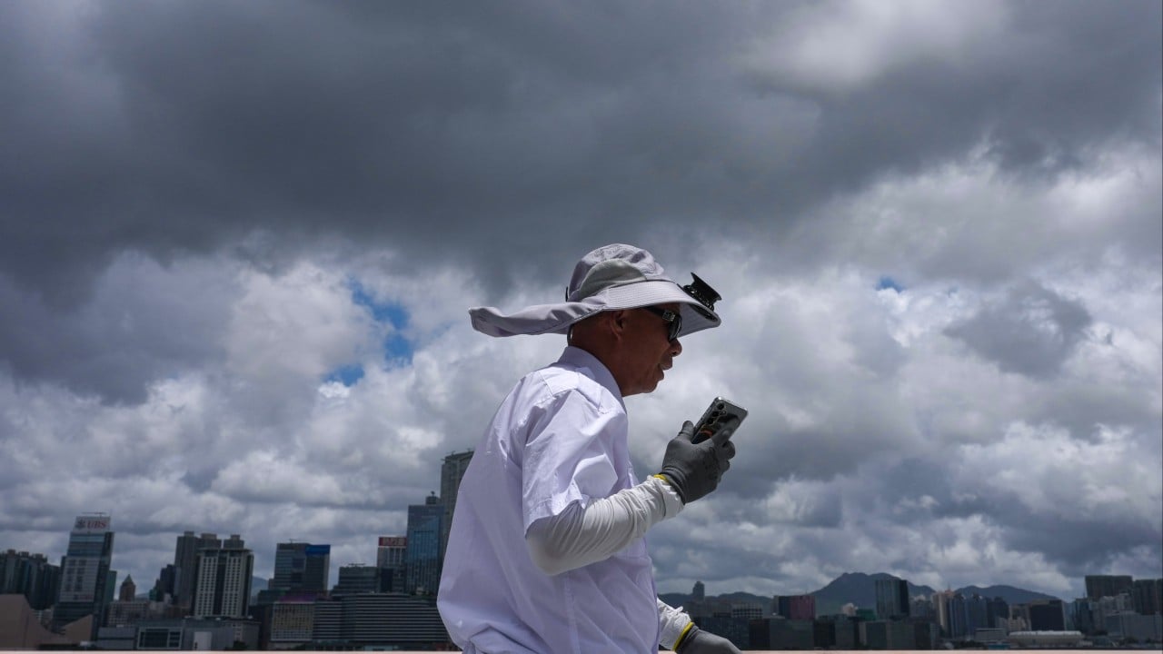
Don't let the distance fool you. Tropical Storm Maysak is sitting hundreds of kilometers away from Hong Kong, but its outer bands are already making a mess of local weather. The Hong Kong Observatory announced that the Standby Signal No. 1 will stay active until at least 6 p.m. on Friday.
If you're tracking the storm hoping for a sudden day off work, honestly, it's not looking likely right now. Maysak is moving northwest at about 10 kilometers per hour, steering straight for Hainan Island. But while the storm center keeps its distance, the wind and rain are hitting closer to home than you think.
What the T1 Signal Means for Your Friday Plans
Right now, Maysak is hovering roughly 670 to 700 kilometers southwest of the city. Because it shifted to a northwesterly track, the Observatory extended the T1 signal from its original midday expiration up to 6 p.m.
The big question everyone wants answered: Will we see a T3 signal tonight?
The weather forecasters are playing it cool. They will look at three main factors after 6 p.m. before making a call:
- How much Maysak intensifies over the next few hours.
- The exact distance of the storm's strong wind radius from the Pearl River Estuary.
- Local wind changes across the territory.
The Hidden Danger of Outer Rainbands
Even without a T3 signal, the conditions outside are getting rough. Intense gusts reached around 80 kilometers per hour at Cheung Chau on Friday morning. High ground and offshore areas are seeing intermittent gale-force winds simply because of Hong Kong's unique terrain.
The biggest mistake you can make today is assuming a T1 means safe waters. The Observatory explicitly warned of heavy swells. If you had weekend plans for surfing, junk trips, or just walking along the waterfront at Tsim Sha Tsui, cancel them. The combination of squally showers and sudden violent gusts makes the shoreline incredibly dangerous right now.
Your Immediate Next Steps
Stay ahead of the weather shift by taking care of these basic tasks before the evening commute:
- Clear your balconies. Secure any loose outdoor furniture or plants that could fly off in an 80 km/h gust.
- Check your drainage. If you live in low-lying areas or village houses, ensure nearby drains are clear to avoid flash flooding from the incoming squall lines.
- Lock your windows. The outer rainbands bring sudden, heavy downpours that will catch you off guard if your windows are cracked open.
- Monitor transport updates. While MTR and bus services are running normally under T1, ferry services to outlying islands can face sudden suspensions or delays due to the heavy swells. Check the schedules before you head out.